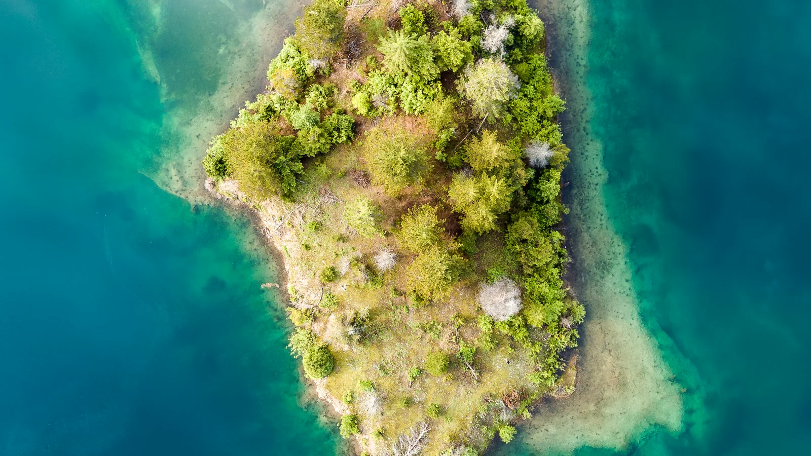
Drone photo of Gold Creek Pond by Dave Hoefler on Unsplash.
One of the best things about living in Issaquah is how quickly the landscape changes.
Within a short drive, I can move from staircases and playgrounds in the Highlands to farms in North Bend, old railroad bridges near Fall City, waterfalls, lakes, mountain faces, and the alpine terrain around Snoqualmie Pass.
Those places immediately make me think about drone shots.
They are also generally east of the most complicated Seattle-area airspace, which can make flight planning simpler. I do not need to begin every idea by requesting authorization through LAANC.
But “no air clearance” is only shorthand for one part of the preflight process.
Airspace Is Only Half the Answer
FAA authorization and permission to use the ground are separate questions.
In uncontrolled Class G airspace, the FAA allows recreational flights at or below 400 feet without prior airspace authorization. Pilots still need to check current airspace, temporary flight restrictions, notices, and local conditions before every flight.
A clear airspace map does not grant permission to launch from a park, trail, conservation area, or private property. Land managers can prohibit takeoffs and landings or require a permit even when the air above is uncontrolled.
That distinction matters around Issaquah. Some locations on my list are good places to fly after the right checks. Some require written permission. A few are beautiful drone subjects where the correct decision is to leave the drone in the bag.
The rules below were checked on July 7, 2026. They can change.
Dirty Harry’s Balcony
Dirty Harry’s Balcony has almost everything I want from a mountain shot: exposed rock, layers of forest, the I-90 corridor cutting through the valley, and weather moving across the Cascades.
The balcony creates a natural foreground while the road and valley provide strong lines into the distance. Early light, low clouds, or a little snow can make the same composition feel completely different.
Flight reality: Dirty Harry’s trail is part of Olallie State Park. Washington State Parks requires a remote-controlled aircraft permit for each instance of drone use. The current process asks applicants to contact the park, submit well in advance, provide a flight plan, and meet insurance requirements.
This is a permit-first location, not a spontaneous launch point.
Rattlesnake Lake
Rattlesnake Lake looks almost designed for aerial photography.
The lake creates reflections and clean negative space. The forest wraps tightly around the water, and Rattlesnake Ledge rises behind it as an obvious reveal. Changing water levels expose stumps and shoreline textures that are difficult to appreciate from ground level.
Flight reality: Seattle Public Utilities explicitly states that drones and other unmanned aerial vehicles are prohibited at the Rattlesnake Lake Recreation Area.
It remains one of my favorite landscapes, but it is not a flight location. This is a place to hike, scout, and take ground-level photographs.
Tokul and the Old Railroad Bridge
The start of the Snoqualmie Valley Trail near Tokul heads toward Fall City and reaches a fantastic old railroad bridge.
Bridges work beautifully from the air because they provide symmetry, leading lines, and a clear relationship between human engineering and the landscape around it. Here, the structure, forest, river corridor, and long trail alignment could create a very PNW composition.
Flight reality: The Snoqualmie Valley Trail is part of King County Parks. King County Code 7.12.545 prohibits drones in park areas except in a specifically designated area or with a permit issued by the director.
This is another permission-first subject. The bridge is worth remembering, but the trail itself is not an unrestricted launch site.
Snoqualmie Falls
Few nearby subjects have the visual power of Snoqualmie Falls.
The height of the waterfall, the mist moving through the canyon, the dark forest, and the hydroelectric infrastructure create a dramatic scene in almost any season. From a photography perspective, it offers scale, movement, texture, and weather in one compact location.
Flight reality: The official Snoqualmie Falls FAQ says drones and similar aircraft are not allowed.
The view is spectacular. The drone stays packed.
Snoqualmie Pass
Snoqualmie Pass is the strongest actual flying area on this list because it offers many possible compositions rather than a single landmark.
Alpine ponds, forest roads, ski slopes, snow lines, mountain ridges, and the curves of I-90 all change with elevation and season. A small movement can reveal an entirely different relationship between water, trees, rock, and sky.
This is also where weather matters most. Wind can be dramatically stronger above the trees, clouds can erase visibility in minutes, and cold affects batteries. The mountains reward conservative decisions.
Flight reality: Drone use is generally possible on parts of the Mount Baker-Snoqualmie National Forest when all FAA and Forest Service rules are followed. The Forest Service asks pilots to avoid disturbing visitors and wildlife and to contact the local ranger district about fire operations or management flights.
I still verify the exact land boundary. I do not launch from or operate in designated wilderness, ski-area property without permission, crowded trailheads, or anywhere affected by a closure or temporary flight restriction.
Tollgate Farm in North Bend
Tollgate Farm offers a completely different perspective from the steep mountain locations.
Open fields provide room for wide establishing shots, while Mount Si creates a huge backdrop behind an otherwise quiet agricultural landscape. Fences, paths, seasonal colors, fog, and long shadows can turn a simple field into a strong composition.
The best shots here would probably be restrained rather than high and dramatic: slow movements, low angles where appropriate, and enough distance to show how the farm sits beneath the mountains.
Flight reality: Si View Metropolitan Park District says drone use in district parks requires prior permission. Tollgate Farm therefore belongs in the permission-first category.
Mount Si
Mount Si dominates North Bend. It is difficult to look at that wall of rock and forest without imagining an aerial shot.
Its strength as a subject is scale. Houses, roads, fields, and the river valley all look small beside it. Clouds regularly wrap around the upper mountain, and evening light can separate the ridges in ways that are invisible in flat midday conditions.
Flight reality: Mount Si is a Natural Resources Conservation Area managed by Washington DNR. It protects old-growth forest, geologic features, wildflowers, mountain goats, and other wildlife.
I would not treat a busy Mount Si trailhead or summit as a casual launch point. Before considering a flight, I would confirm the current policy with the DNR South Puget Sound Region, stay far from wildlife and hikers, and be ready to abandon the idea entirely.
The Issaquah Highlands Staircase
The long staircases in Issaquah Highlands are interesting for almost the opposite reason: they are compact, geometric, and distinctly urban.
From above, the repeating steps and landings create patterns. From the side, the elevation change can produce a clean reveal as the drone rises toward the neighborhood and surrounding hills. It is a good subject for practicing precise, slow movements rather than simply flying high.
Flight reality: This setting requires extra care around homes, pedestrians, roads, and private property. I only consider it with a clearly legal launch point, an empty path, direct visual line of sight, and a flight plan that does not linger near houses or people.
Privacy and courtesy matter as much as the airspace map.
The Issaquah Highlands Central Park Playground
The playground at Central Park has colorful structures, curved paths, athletic fields, and the surrounding Highlands terrain. When completely empty, those shapes can make a playful top-down composition.
The important words are completely empty.
A playground is never a place to fly over children, families, games, or other park users. The athletic fields are scheduled throughout the year, and an apparently quiet area can become busy quickly.
Flight reality: I could not find a clear, current public drone policy for Issaquah city parks. I would confirm permission with Issaquah Parks and Community Services before launching. Even with permission, I would fly only during an empty period and keep the operation away from people, homes, and active fields.
My Honest Version of the List
After checking the current ground rules, this is how I think about these spots:
- Best normal-flight candidate: appropriate non-wilderness locations around Snoqualmie Pass, after the normal airspace, weather, land-boundary, and ranger checks.
- Permission or confirmation first: Dirty Harry’s Balcony, Tokul and the railroad bridge, Tollgate Farm, Mount Si, the Issaquah Highlands staircase, and Central Park.
- Leave the drone at home: Rattlesnake Lake and Snoqualmie Falls.
That may sound less exciting than a list of secret launch points, but it is more useful.
The goal is not to find technical loopholes. It is to find beautiful compositions while being the kind of pilot who respects airspace, land managers, wildlife, privacy, and everyone else trying to enjoy the same place.
Not needing air clearance removes one step. It does not remove the responsibility.